| Cameras | Specification | Products | Image |
|---|---|---|---|
| LISS-4 |
| Georeferenced Products
| 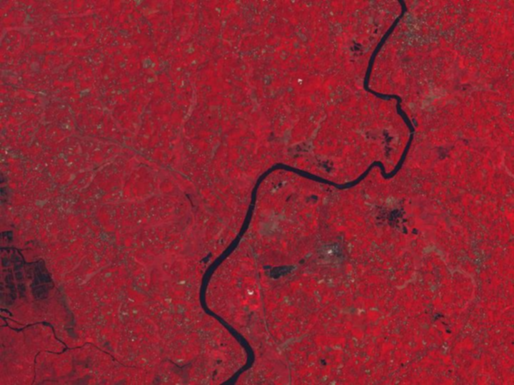 |
| LISS-3 |
| Georeferenced Products
|  |
| AWiFS |
| Georeferenced Products
| 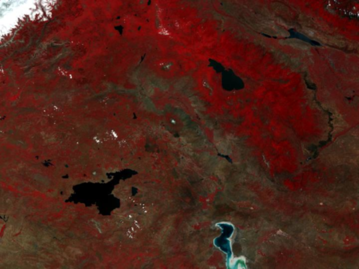 |
| Note: B2: 0.52 – 0.59 µm; B3: 0.62 – 0.68 µm; B4: 0.77 – 0.86 µm; B5: 1.55 – 1.70 µm | |||
| Satellite | Specification | Products | Image |
|---|---|---|---|
| Cartosat-1 |
| Mono Georeferenced Products
Stereo Orth kit Products
| 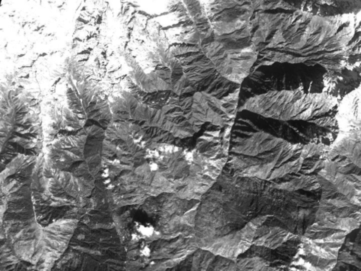 |
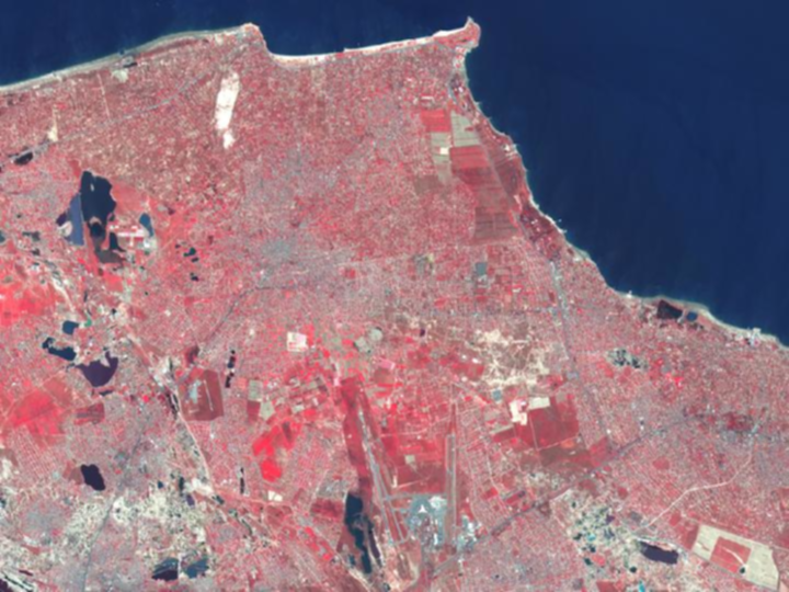
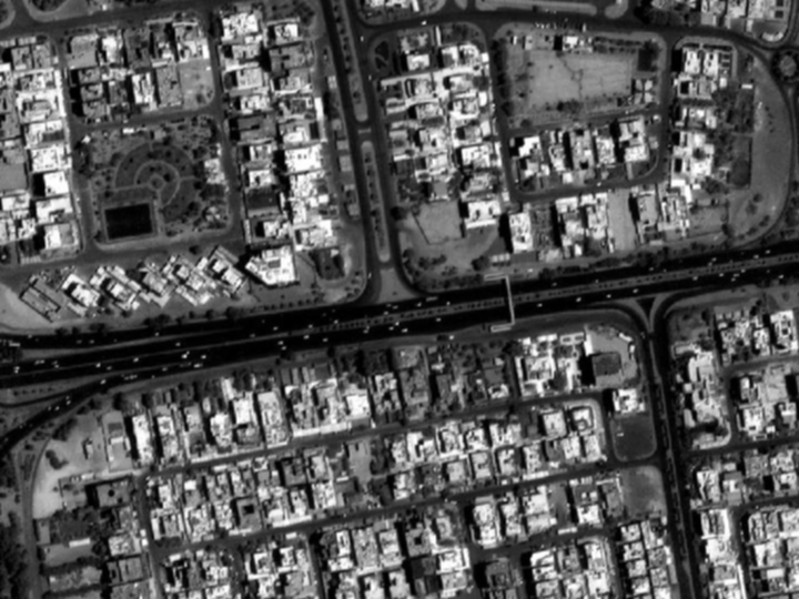
| Cartosat-2S PAN |
| Georeferenced Products
|  |
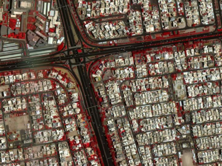
| Cartosat-2S MX (Multi-Spectral) |
| Georeferenced Products
|  |
| Note: B1: 0.45 – 0.52 m; B2: 0.52 – 0.59 m; B3: 0.62 – 0.68 m; B4: 0.77 – 0.86 m | |||
| Camera | Specification | Products |
|---|---|---|
| Ocean Colour Monitor (OCM-2) |
| Georeferenced Products
|
| Imaging modes * | FRS-1 | FRS-2 | FRS-2 | MRS | CRS |
|---|---|---|---|---|---|
| Slant Range Resolution | 3m | 6m | 9m | 25m | 50m |
| Swath/Spot (km) Experimental | 25 | 25 | 25 | 115 | 223 |
| Polarisation | Linear/ Dual/ Polarimetry | Polarimetry | Quad | Linear/ Dual/ Polarimetry | Linear/ Dual/ Polarimetry |
| IRS-1A/ IRS-1B: | 1988 to 1996 & 1991 to 2003 respectively | |
| IRS-1C/ IRS-1D: | 1995 to 2007 & 1997 to 2010 respectively | |
| Resourcesat-1: | October 2003 to September 2013 | |
| Oceansat-1: | May 1999 to August 2010 | |
| Please visit NRSC/ISRO Browse Catalogue for data availability. | ||
| Cameras | Specification | Products | Image |
|---|---|---|---|
| LISS-4 |
| Georeferenced Products
| |
| LISS-3 |
| Georeferenced Products
| |
| AWiFS |
| Georeferenced Products
| |
| Note: B2: 0.52 – 0.59 µm; B3: 0.62 – 0.68 µm; B4: 0.77 – 0.86 µm; B5: 1.55 – 1.70 µm | |||
| Satellite | Specification | Products | Image |
|---|---|---|---|
| Cartosat-1 |
| Mono Georeferenced Products
Stereo Orth kit Products
| |
| Cartosat-2S PAN |
| Georeferenced Products
| |
| Cartosat-2S MX (Multi-Spectral) |
| Georeferenced Products
| |
| Note: B1: 0.45 – 0.52 m; B2: 0.52 – 0.59 m; B3: 0.62 – 0.68 m; B4: 0.77 – 0.86 m | |||
| Camera | Specification | Products |
|---|---|---|
| Ocean Colour Monitor (OCM-2) |
| Georeferenced Products
|
| Imaging modes * | FRS-1 | FRS-2 | FRS-2 | MRS | CRS |
|---|---|---|---|---|---|
| Slant Range Resolution | 3m | 6m | 9m | 25m | 50m |
| Swath/Spot (km) Experimental | 25 | 25 | 25 | 115 | 223 |
| Polarisation | Linear/ Dual/ Polarimetry | Polarimetry | Quad | Linear/ Dual/ Polarimetry | Linear/ Dual/ Polarimetry |
| IRS-1A/ IRS-1B: | 1988 to 1996 & 1991 to 2003 respectively | |
| IRS-1C/ IRS-1D: | 1995 to 2007 & 1997 to 2010 respectively | |
| Resourcesat-1: | October 2003 to September 2013 | |
| Oceansat-1: | May 1999 to August 2010 | |
| Please visit NRSC/ISRO Browse Catalogue for data availability. | ||